
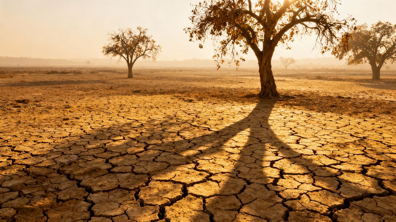
British Columbia is anticipating a return to drier weather patterns later this week, following a period of unsettled conditions that brought much-needed rain to some fire-prone areas. While recent showers and cooler temperatures have offered a temporary reprieve, the BC Wildfire Service warns that a drying trend is expected to set in by Wednesday or Thursday, particularly in the southern half of the province.
Key Takeaways
- A drying trend is forecast to return to parts of B.C. starting Wednesday or Thursday.
- Recent unsettled weather brought rain and cooler temperatures to some areas.
- There are currently just over 70 active wildfires across the province.
Weather Pattern Shift
Much of British Columbia has experienced "unsettled" weather recently, with some regions that have been hotspots for wildfires this season receiving rain. The BC Wildfire Service noted that the southern half of the province was expected to see showers, cooler temperatures, and some winds. The risk of thunderstorms extended to parts of the Coast Mountains, with most of these storms bringing rain.
In northeastern B.C., a cold front was anticipated to arrive on Sunday, bringing gusty winds and precipitation. These thunderstorms and showers were expected to continue into the early part of the week. However, a return to drier conditions is forecast to begin on Wednesday or Thursday in the southern parts of the province.
Environment Canada has since rescinded severe thunderstorm bulletins that were in effect for parts of the southern Interior and northeast on Sunday afternoon. These bulletins had covered areas such as Fort Nelson, the Peace River area, the Okanagan, South Thompson, Nicola, Boundary regions, and northern parts of the Fraser Canyon.
Current Wildfire Situation
As of Sunday, there were just over 70 active wildfires across British Columbia. Fewer than 10 of these blazes were classified as burning out of control. The majority of the active fires are located in northeastern B.C., with smaller clusters present on Vancouver Island and in the southern Interior.
The shift back to drier conditions raises concerns about the potential for increased wildfire activity as the province moves further into the summer season.